 The monthly news publication for aviation professionals.


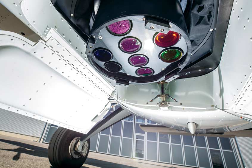
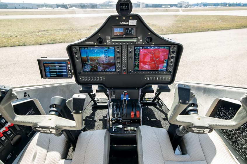
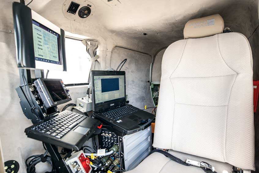
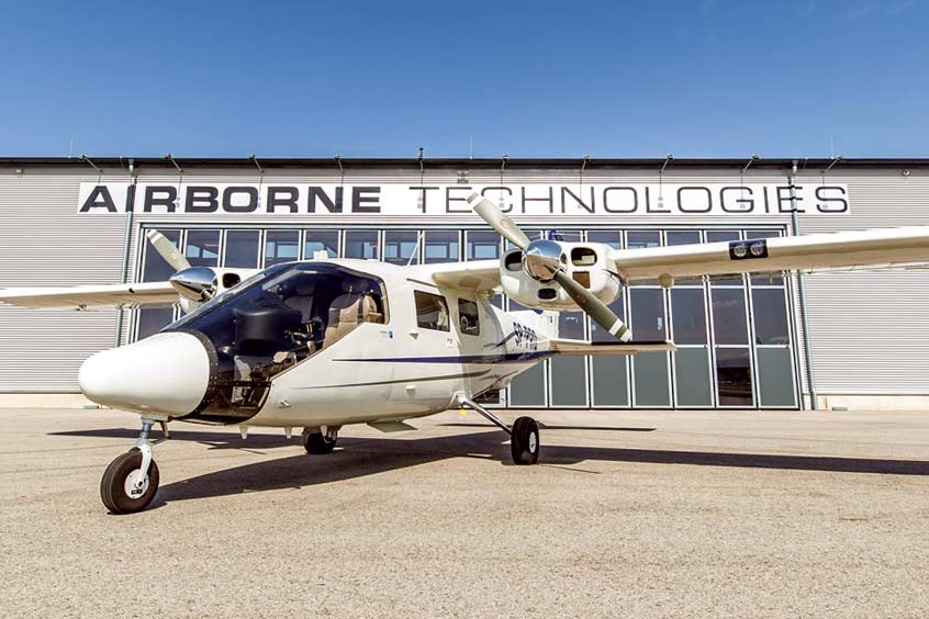
Polish aerial survey company Gispro has taken delivery of a second aircraft from Airborne Technologies, the Austrian airborne ISR solutions and sensor integrator. Based on the performance of the first platform, the operator ordered a second multi-sensor aircraft from Airborne Technologies within a few years of its first order. The recent project consisted of upgrading a Vulcanair P68 Observer into a leading-edge aerial surveying platform equipped with a modern workstation and three sensors in three hatches.
The conversion from a basic aircraft to a multi-sensor surveying platform required the installation of a RIEGL VQ 780i Laser scanner in the rear hatch, an Ultracam Eagle Mark 3 large format camera in the main hatch, a Hasselblad A6D RE middle format camera in the middle hatch, a CCNS-5 flight guidance, positioning and sensor management system by IGI, and Airborne Technologies' modern tactical workstation
According to Marta Sieczkiewicz, director of Gispro’s aerial photogrammetry department, the aircraft is already in operation. “The main task of our new system is to provide high resolution RGB, NIR, RE images and LIDAR data intended for recording large areas and assessing the state of the environment and parametrising forest and agricultural areas. The target recipients of the proposed technology are state forest units, national parks, forests of other forms of ownership, farms, insurance companies, state and local administration.”